
Houston, we have a 404 problem.
Looks like this destination might be lost in space.
Maybe the URL is wrong, or the page no longer exists (like Alderaan).
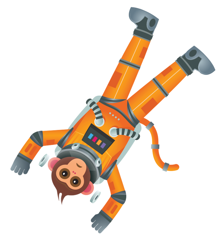
We’re blaming the monkey.
Looks like this destination might be lost in space.
Maybe the URL is wrong, or the page no longer exists (like Alderaan).
We’re blaming the monkey.